We measure your land to the centimetre and bring your project to life on site.
Surveying and cadastre, solar and wind energy, industrial construction and technical consultancy. As licensed office no. 3106-310 we cover the whole of Hatay.
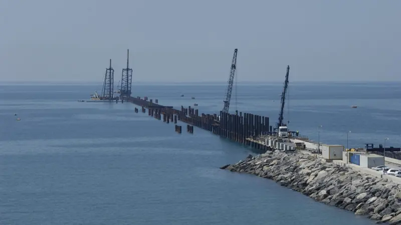
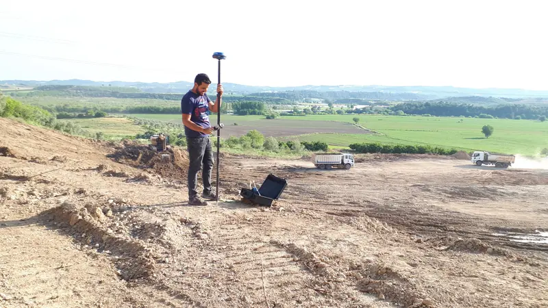
From survey to construction, one team
We are with you at every stage, from surveying the land to handing over the structure.
Surveying & Mapping
Base maps, topographic and strip maps; land readjustment, setting-out, GNSS surveys, as-built and industrial measurements.
Details 02Licensed Cadastre (LİHKAB)
Setting-out, change of land use, amalgamation, easements and on-site boundary indication as licensed office no. 3106-310.
Details 03Energy Projects (Solar & Wind)
Site selection, permits, zoning, expropriation and surveying for licensed and unlicensed solar and wind plants.
Details 04Construction & Contracting
Refinery and storage facilities, soil surveys, steel structures, raft foundations, installation, blasting & painting, electrical and automation.
Details 05Technical Consultancy
Design and construction supervision in industrial zones and OSBs, with an expert team of architects and engineers.
DetailsCan't find your job here?
Tell us, and we'll find the right solution together.
Contact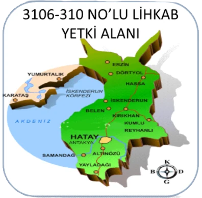
Your licensed office for land-registry work
Setting-out, change of land use, amalgamation, easements and on-site boundary indication as licensed office no. 3106-310. We take your application, survey on site and prepare your file for the cadastre directorate.
- Boundary setting-out
- Change of land use (cins değişikliği)
- Amalgamation
- Establishing or cancelling easements
- On-site indication of a parcel or unit
- Correcting wrong unit or block numbers
- Determining cadastral road boundaries
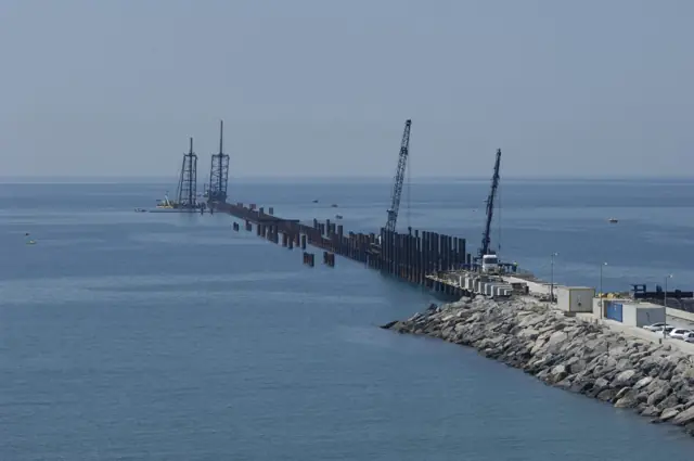
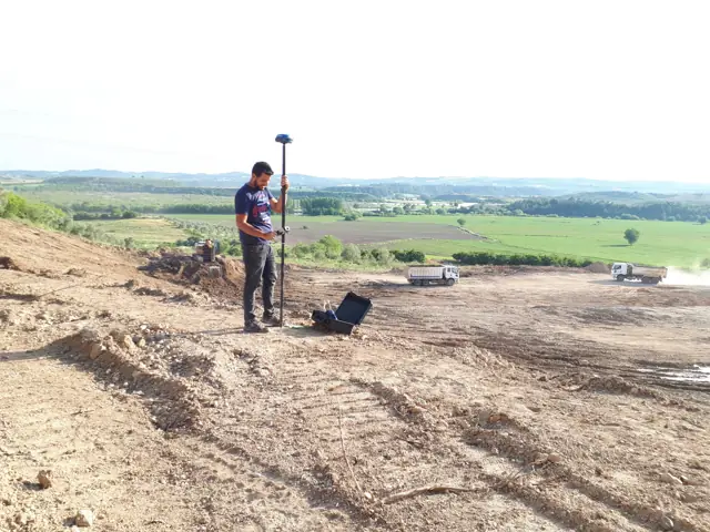
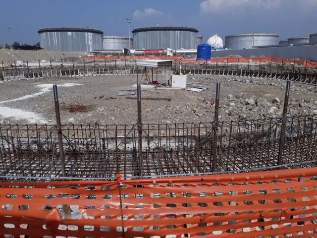
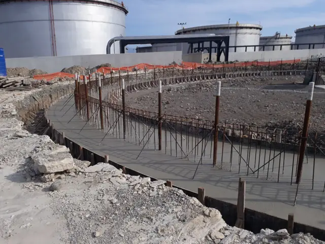
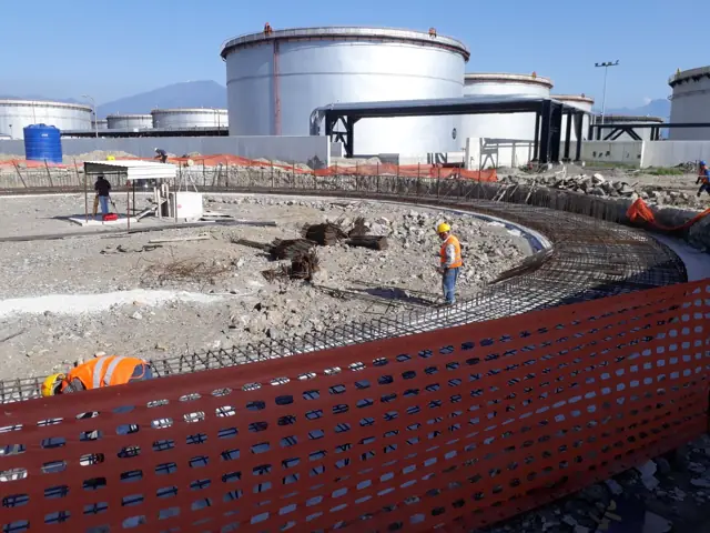
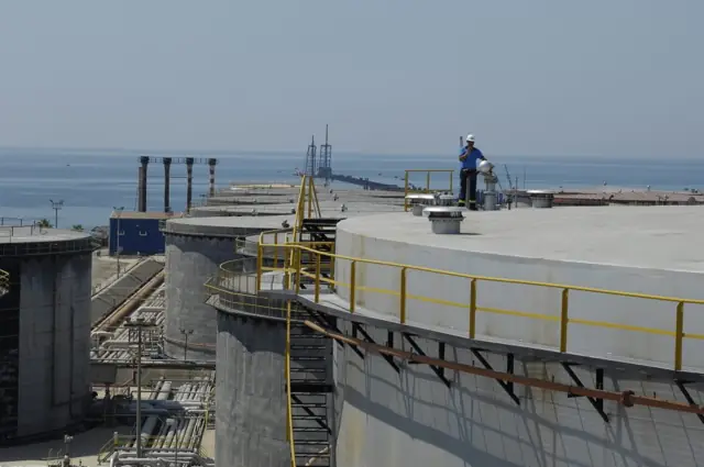
From the tank farm to the open sea
Surveying, foundation and steel works on a fuel storage terminal and jetty project.
Results in four steps
- 1
Call or write
Tell us about the job and the parcel; we reply the same day.
- 2
Visit and quote
We visit if needed and give you a clear time and price.
- 3
Survey and design
Our team surveys on site and prepares your file in the office.
- 4
Delivery and follow-up
We follow up until approval and hand over the result.
In all 15 districts of Hatay
Licensed cadastre work across Hatay; surveying, energy and consultancy throughout Turkey.
- Dörtyol
- Erzin
- Payas
- İskenderun
- Arsuz
- Belen
- Hassa
- Kırıkhan
- Kumlu
- Reyhanlı
- Antakya
- Defne
- Altınözü
- Samandağ
- Yayladağı
Our office
Numuneevler Mah. Hasan İkiz Cad. Altundal Apt. No: 6/B
Dörtyol / Hatay
36.835366, 36.225791
Get directionsDo the maths right now
Calculate your parcel area from coordinates and estimate your cadastre fee under the official tariff.
Area from coordinates
Type or paste corner coordinates from NetCAD or Excel and get area (m², dönüm, hectares), perimeter, edge lengths and a drawing instantly.
Open toolCadastre fee calculator
Estimated fees for setting-out, change of use, amalgamation and other licensed cadastre work, based on the official 2026 / 2. dönem tariff.
Open toolUseful official links
Parcel lookup, regulations and other frequently used sites.
Let's talk about your project
Send us your parcel details or describe the job; we will reply with time and price the same day.